A few weeks ago, my wife forwarded me an email she received: "
Unique Tiyulim in the Shomron" Every other Friday, from 7:00 AM to 11:00 AM -- different walking tiyulim in the Shomron...to places slightly off the radar of your regular hike.
The idea appealed to me immediately -- and we thought it would also be great quality time for our second son and myself to spend together. Of course, without my wife's blessing this tiyul would never happen, since Friday is our only real day to get things done.
In what I hope is a series of blog posts, I plan to document these trips around the Shomron to give you a sense of "
being here"...and that I offer you a glimpse into the hills of the Shomron and our history. These posts are not for quickly browsing in 2 minutes. Give yourself five minutes or more...read them, click on the pictures to see the detail of the landscape...click on the maps...reacquaint yourselves with Israel...and maybe share them as well with your family and friends.
Start humming Yoram Gaon's, "
קום התהלך בארץ"...or any song from Israel. (There's a great selection of downloadable MP3 collections over
here...)
Bring your hiking gear; a cap, a bottle of water, and a Tanach.
I'll provide the security and the camera.
And away we go!Shomron Tiyul #1...The Kedumim Area; Nachal Te'einim, Kever Elisha.
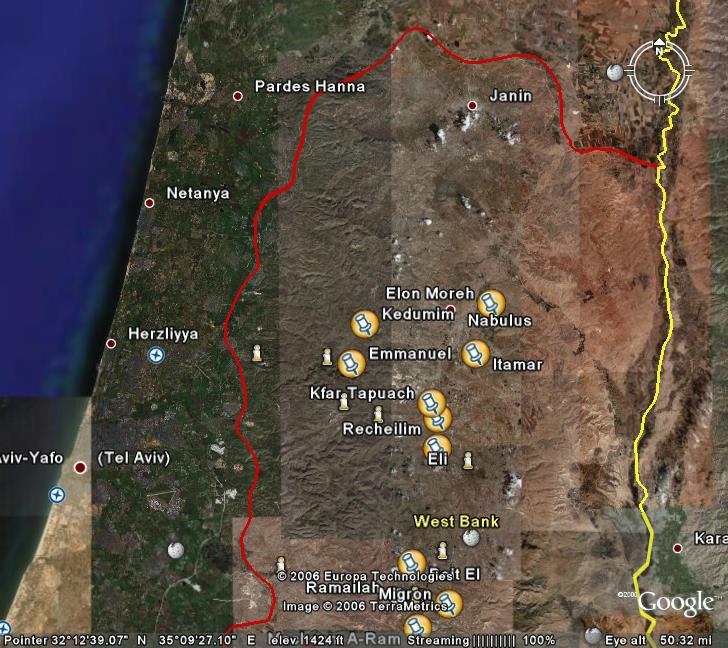
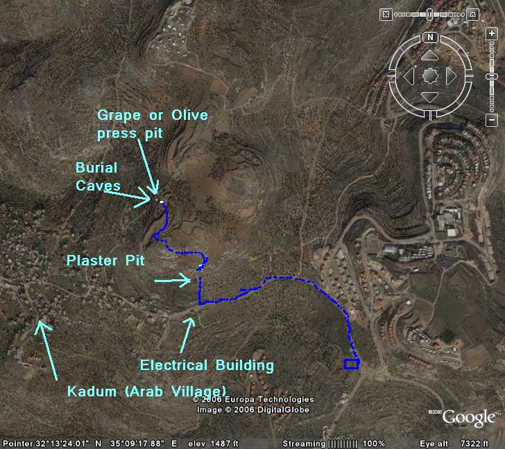
We started our tiyul by meeting at the fun hour of 7:00 AM, at the gas station just outside Kedumim. To give you a better perspective, here's a "Google Earth" snapshot of Israel...you can find Kedumim in the middle of the map.

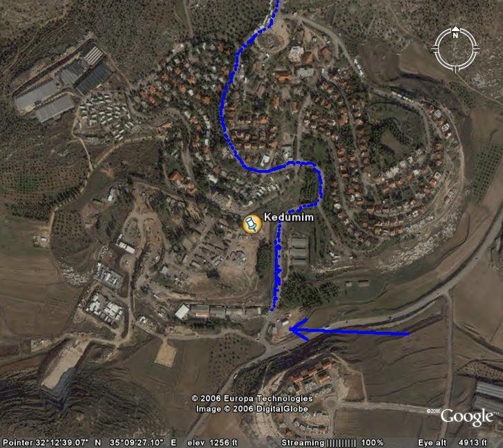
You can follow our tiyul by the dark blue path on the maps...the arrow below is the Gas Station. When our guide showed up, we drove into Kedumim...(follow the blue line. Click the picture to see it in much better resolution)

After driving North for about 4 minutes, we parked our cars. The rest of our 4 hour tiyul would be on foot.

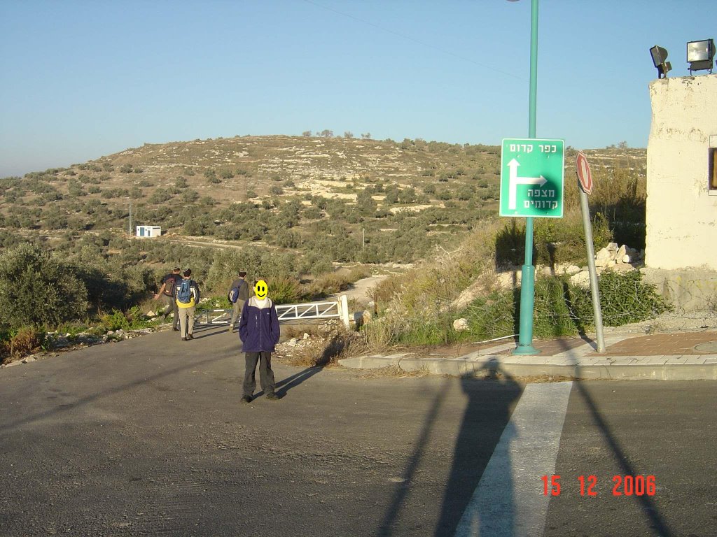
Walking along the road,

...we reached the edge of the homes of Kedumim...the sign says, straight ahead to Kadum (an Arab village) and a right to Mitzpeh Kedumim, a different neighborhood in Kedumim.


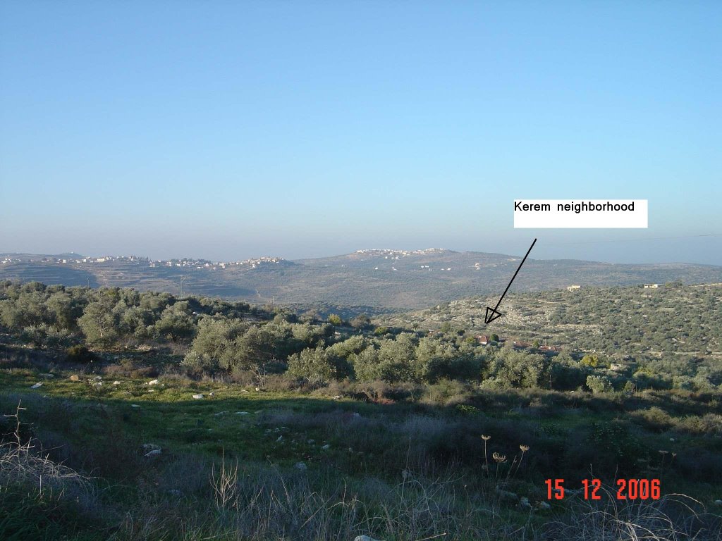
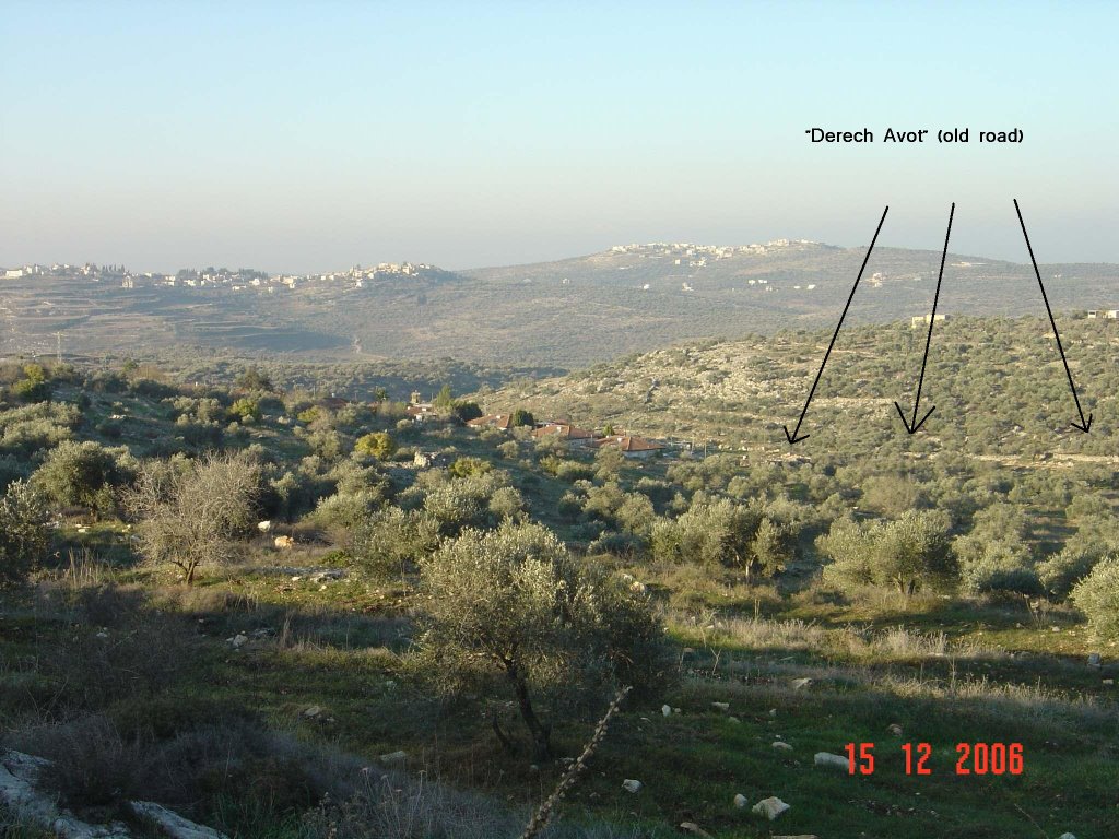
To our left we can see a new neighborhood, "Kerem" of Kedumim, and alongside there's an old road that goes from Shechem down to the sea. Our guide tells us that it's older than Roman times...and is probably at least from the First Temple era, if not earlier. It's one of those roads called, "Derech Avot"...the road of our forefathers...

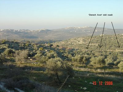
Here's a view of the road looking North..."upwards"

And here's the view looking down...towards the Kerem neighborhood.
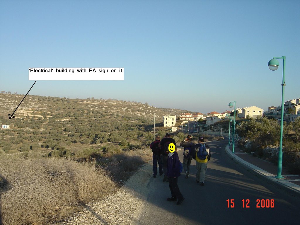
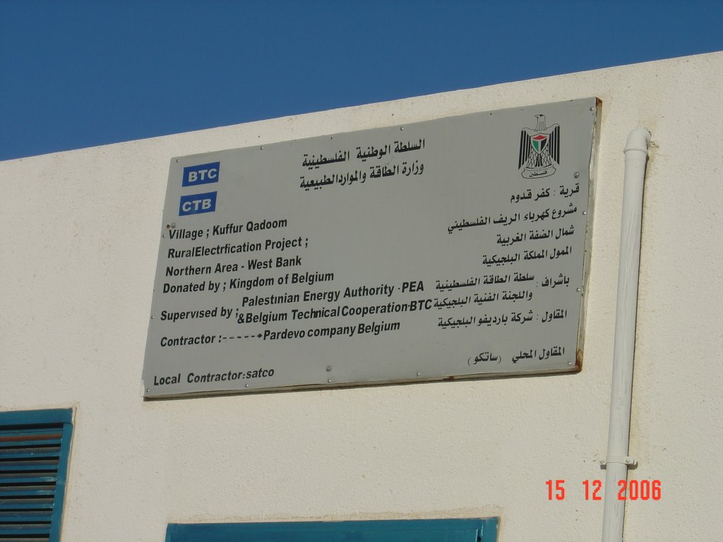
As we go around the curve of the road to Kadum, we see an "electrical" building...donated to the Palestinian Authority by the Kingdom of Belgium. However, Israel's Electric Company has built all the infrastructure, and maintains it...so we don't really understand the point of the building.

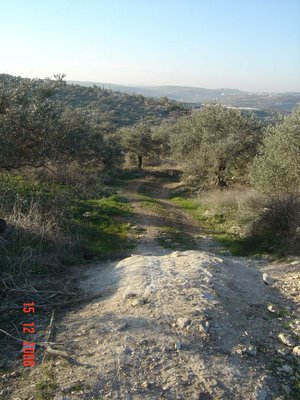
Instead of walking into Kadum...

...we turn right and stated walking up the mountain.

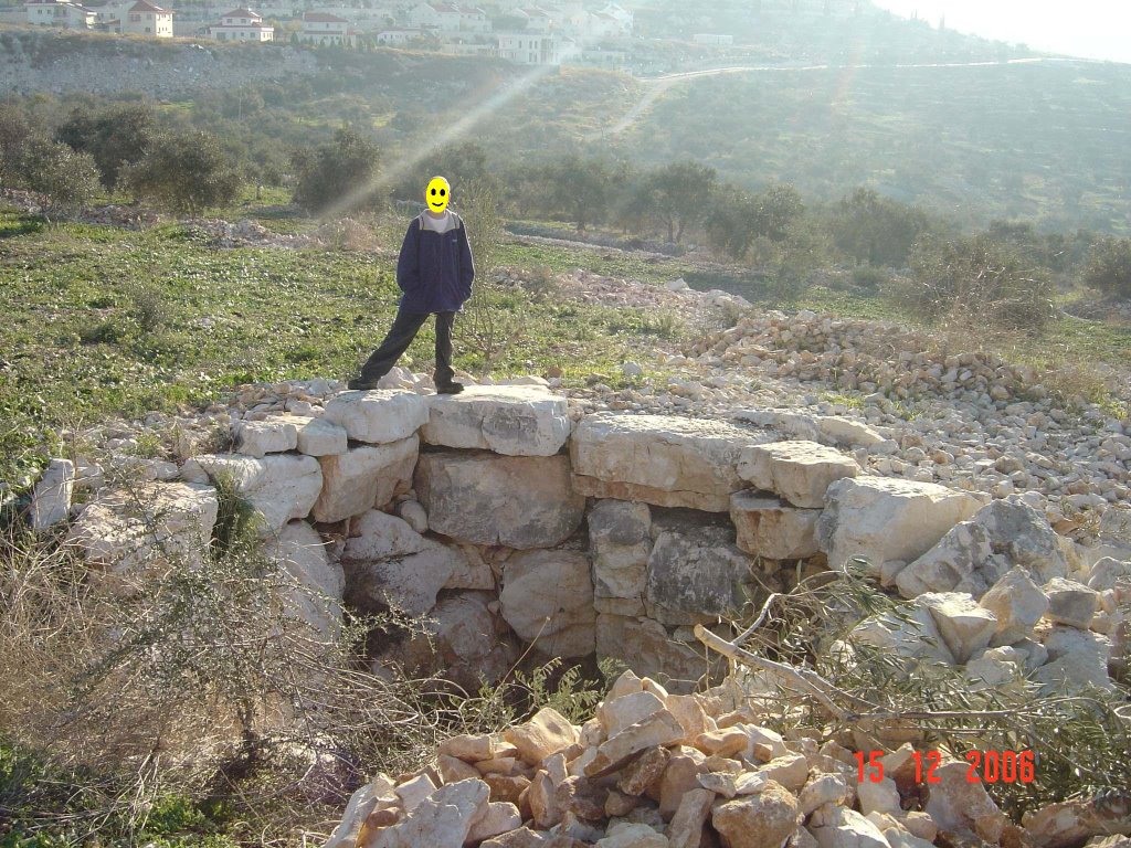
Trudging up the hill a bit, we arrive at the "plaster pits".
These pits were used to melt chalk/limestone rock in them, and the liquid plaster was then used for plastering walls...and insides of wells.


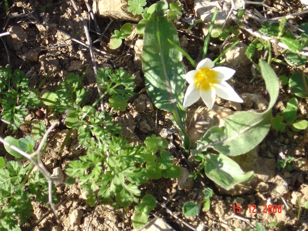
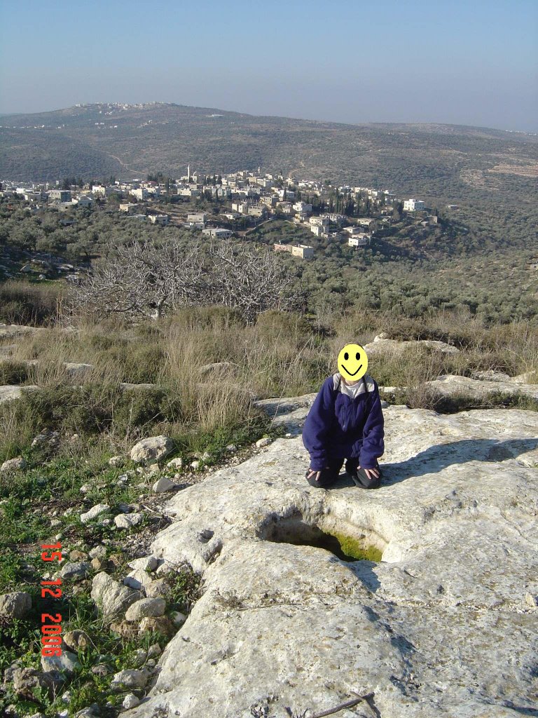
You can't just walk around without checking out the scenery...

Or this lone "kalanit" all by its lonesome.

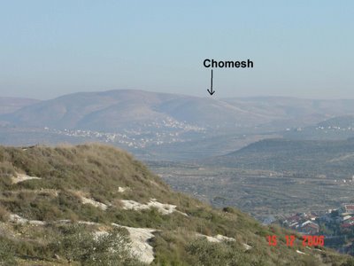
Looking off to the distance, we can see the remains of Chomesh. Chomesh was one of the 4 Northern Shomron settlements destroyed by the Disengagement. My kids and I stayed there till the actual forced evacuation started...seems like eons ago.
Climbing...breathing a bit heavily, we encounter a totally new type of landscape. Not your regular Shomron yellowish rock with brown dirt.
This was sand.
We're told that it's from limestone and chalk...something out of the ordinary in this area.

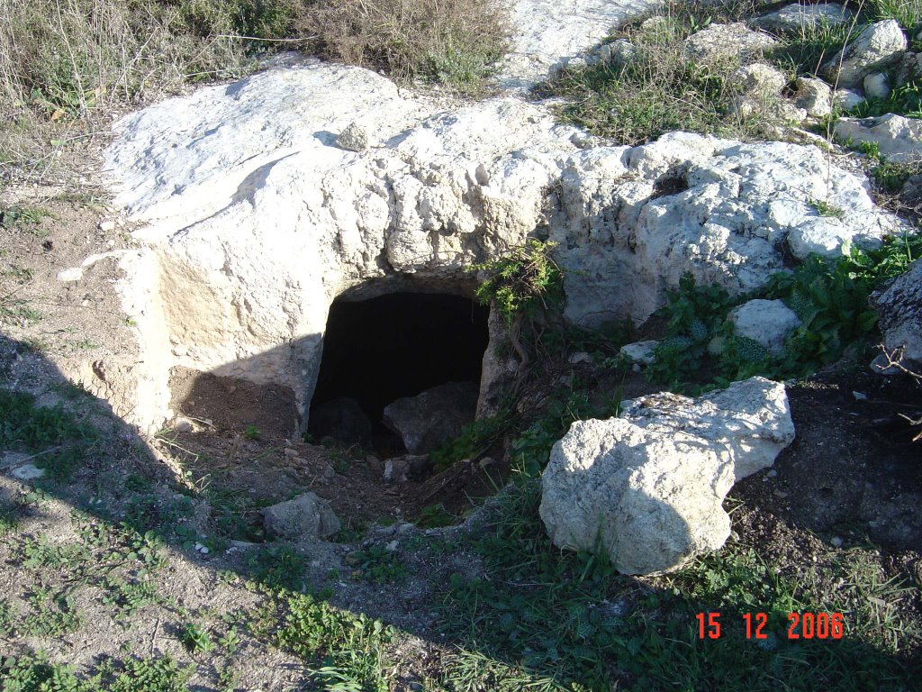
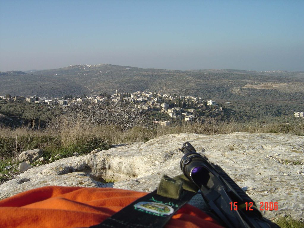
With my M16 rifle slung over my back, we continue walking through the sandy landscape to the other side of the hill facing the main part of the Kadum village. There are burial caves all over the place dating back to the first and second Temple Mount period. It's the city of the dead...those that used to dwell in Sebastia...the Shomron of biblical times.


No reason to enter the caves...though I must admit, its very tempting to explore.
We see a square indentation in the large rocks underfoot, and notice that about 6 feet away is another pit. This is where grapes or olives would be squashed, and then the oil/wine would run down into the pit and pool there for collection.


OK...executive blog decision time. I have other non-blog related things to do now, so instead of waiting another day to finish the posting, I'll put it up now and continue later...(we have lots more ground and material to cover!) Instead of editing this, and making it "perfect" or more "exciting" -- it's probably better to post it as is...and finish it later.
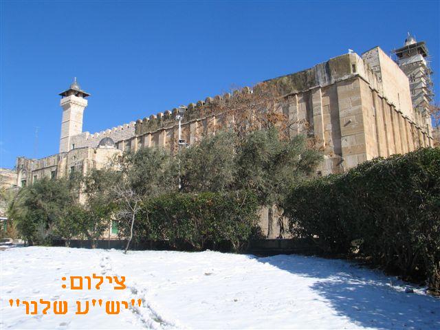
Besides...it's SNOWING here in Jerusalem now!
OK, it's not sticking...yet...
Enjoy,
--Jameel

 (Photo courtesy of rotter.net)